GIS and geospatial service companies · Social media
Post the before-and-after of a ward map, not the drone on the grass.
Social media for a geospatial firm means showing the map outputs, field work and method on channels where engineers, planners and contractors look. GullySales plans posts around outputs you may show and keeps government and client data out.
Scope, fee, reporting and term are agreed in writing after we have read your brief and spoken to you.
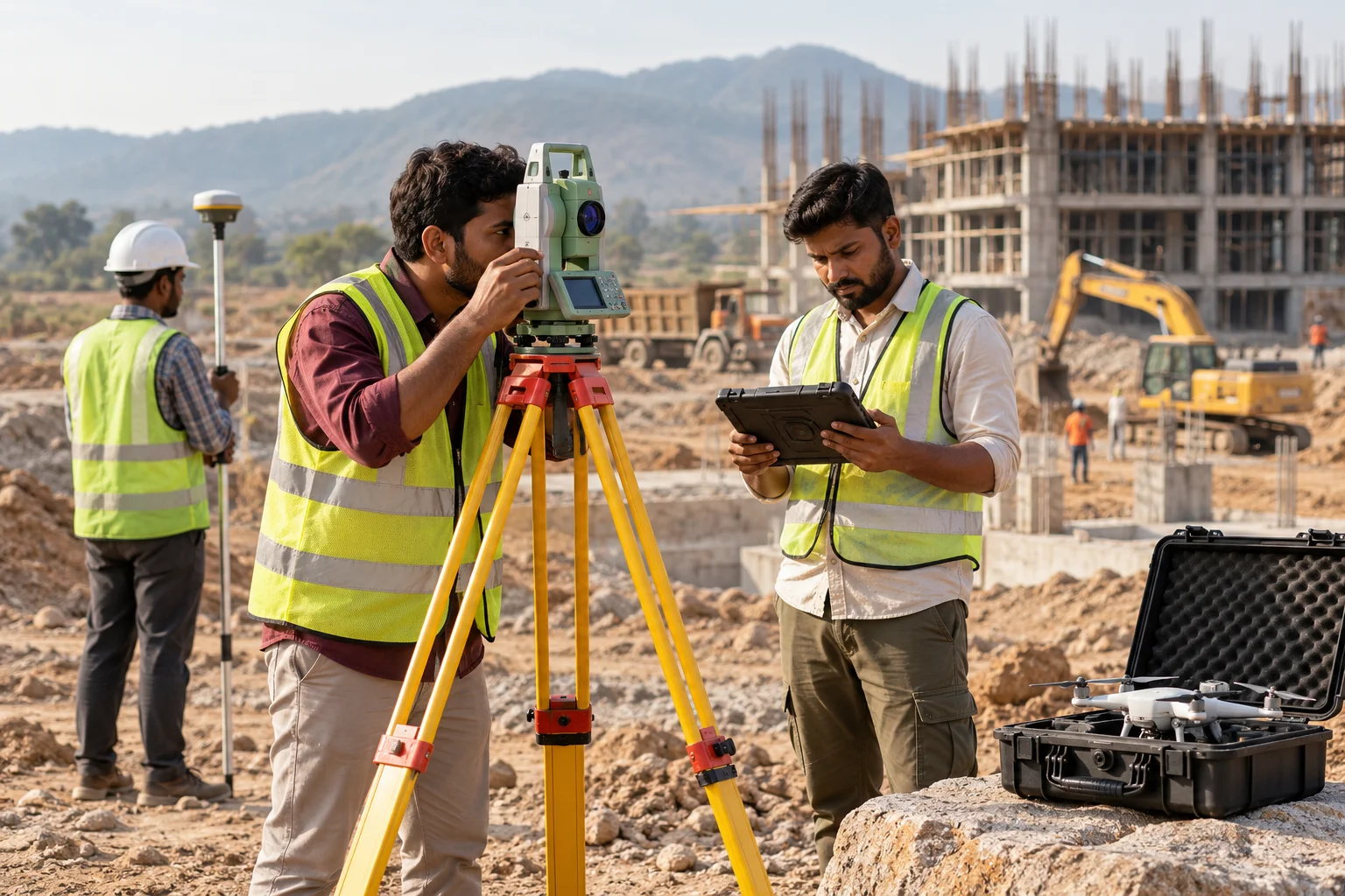
What social media means
Social media is the ongoing posting your business does on platforms such as Instagram, Facebook and LinkedIn to stay visible to customers and prospects between purchases. GullySales plans a posting calendar, writes captions and designs the images so the page looks active and answers what a visitor would ask.
Also for GIS and geospatial service companies
- Content marketing for GIS and geospatial service companies
- Lead generation for GIS and geospatial service companies
- SEO for GIS and geospatial service companies
- Buyer persona for GIS and geospatial service companies
- CRM for GIS and geospatial service companies
- Follow-up systems for GIS and geospatial service companies
- WhatsApp marketing for GIS and geospatial service companies
- Digital marketing for GIS and geospatial service companies
Sales and marketing for GIS and geospatial service companies, the overview.
Last updated 22 Oct 2026.
For GIS and geospatial service companies
Where it usually goes wrong, and what we would do.
“Maps are visual and shareable”
A clean ward map or a layered network drawing is the product. A post that shows one sample, with a line on what it contains, tells the reader more than a photo of equipment.
“Field photographs carry risk”
A photograph of a site, a government building or a person can breach a rule or a client's wish. A check for location and consent before posting protects the firm.
“Planners and engineers follow different feeds”
A town planner follows urban topics, a utility engineer follows asset and network topics. Posts sorted by reader keep each audience.
“Event talks are good material”
A talk at a surveying or urban planning meet gives a topic, a slide set and a photograph. Without a plan, the talk is forgotten.
What we do
What we deliver for GIS and geospatial service companies.
Every deliverable, what it covers for you, and the result it is there to produce. Nothing here is an extra.
Post plan by sector
Themes for urban bodies, utilities, infrastructure and agriculture, each tied to a sample output.
Result: Each audience gets posts about its own work.
Sample map posts
Posts that show one sample map, its layers and the formats delivered.
Result: Readers see the product, not only the process.
Field safety and method posts
Posts on how a survey is checked and how crews work safely, without site or client details.
Result: Method becomes visible.
Clearance checklist
A list of things checked before posting: location, client, people and government property.
Result: Posts avoid exposure.
Event kit
A brief for talks with posts before, during and after.
Result: Event material becomes content.
Reply routine
Standard answers to questions on formats, data and project start.
Result: Questions get consistent replies.
How the result is measured
- Posts published
- Engagement rate
- Enquiries from social profiles
Recorded as a baseline before work starts, so every later report has an honest comparison.
Who it is for
This is written for these GIS and geospatial service companies.
- Municipal bodies and urban development authorities
- Revenue and land records departments
- Electricity, water and gas utilities
- Road, rail and metro infrastructure builders
- Agriculture departments and agri-input firms
- Mining and natural resource companies
- Telecom and tower network planners
- Forest, environment and disaster management bodies
How it works
How the social media work runs
The work itself, in order. How an engagement starts, from your brief to a written scope, is set out on our method page.
- 1
Understand your audience and platforms
We identify which platforms your specific buyers actually use and what kind of content they respond to.
- 2
Audit current presence
We review existing pages, past content performance and any gaps in consistency.
- 3
Build the content calendar
A plan is created, balancing genuine value with occasional direct offers.
- 4
Implement and post
Content is created and published consistently on the agreed schedule.
- 5
Measure and optimise
We track enquiries alongside engagement and adjust the content mix based on what actually performs.
Where this fits
Three pieces of sales work, in this order.
This work sits inside sales process design, at stage 0, foundation. The audit comes before it, and sales management keeps it running.
Step 1
Sales audit
Find where deals are being lost and what to fix first.
Start here if you cannot say where orders are lost.
Step 2 · you are here
Sales process design
One written way to sell, from first enquiry to repeat order.
Start here if every salesperson sells differently.
Step 3
Sales management
A target, a review routine and someone who owns the number.
Start here if the team has targets and no routine.
FAQ
Questions owners ask before they call.
Not here? More answers, or ask on WhatsApp.
Which channel suits a geospatial firm?
Can we show drone footage?
Should we post government project maps?
How much does it cost?
How long is the contract?
How soon will we see results?
Who will actually do the work?
What do you need from us?
What if we are not happy with the work?
More for GIS and geospatial service companies
Everything else we would do for you.
Closest to this: content and social
Also for GIS and geospatial service companies
- Lead generation for GIS and geospatial service companies
- SEO for GIS and geospatial service companies
- Buyer persona for GIS and geospatial service companies
- CRM for GIS and geospatial service companies
- Follow-up systems for GIS and geospatial service companies
- WhatsApp marketing for GIS and geospatial service companies
Or start from the overview: sales and marketing for GIS and geospatial service companies.
Your next practical step
Tell us what you are trying to grow, and we will read it before we call.
Eight short steps, mostly taps. Skip anything you would rather answer on the call.